Drone-Based Construction Site Monitoring in Normandy
Document the progress of your construction projects from the air
Track the progress of your construction projects with regular aerial photography: overviews, time-lapse comparisons, and visual reports for the construction industry and project owners.
Aerial photos and videos dated at each key stage, ideal for communication, construction monitoring, and technical documentation. Services available throughout Calvados and Normandy.
02
Achievements
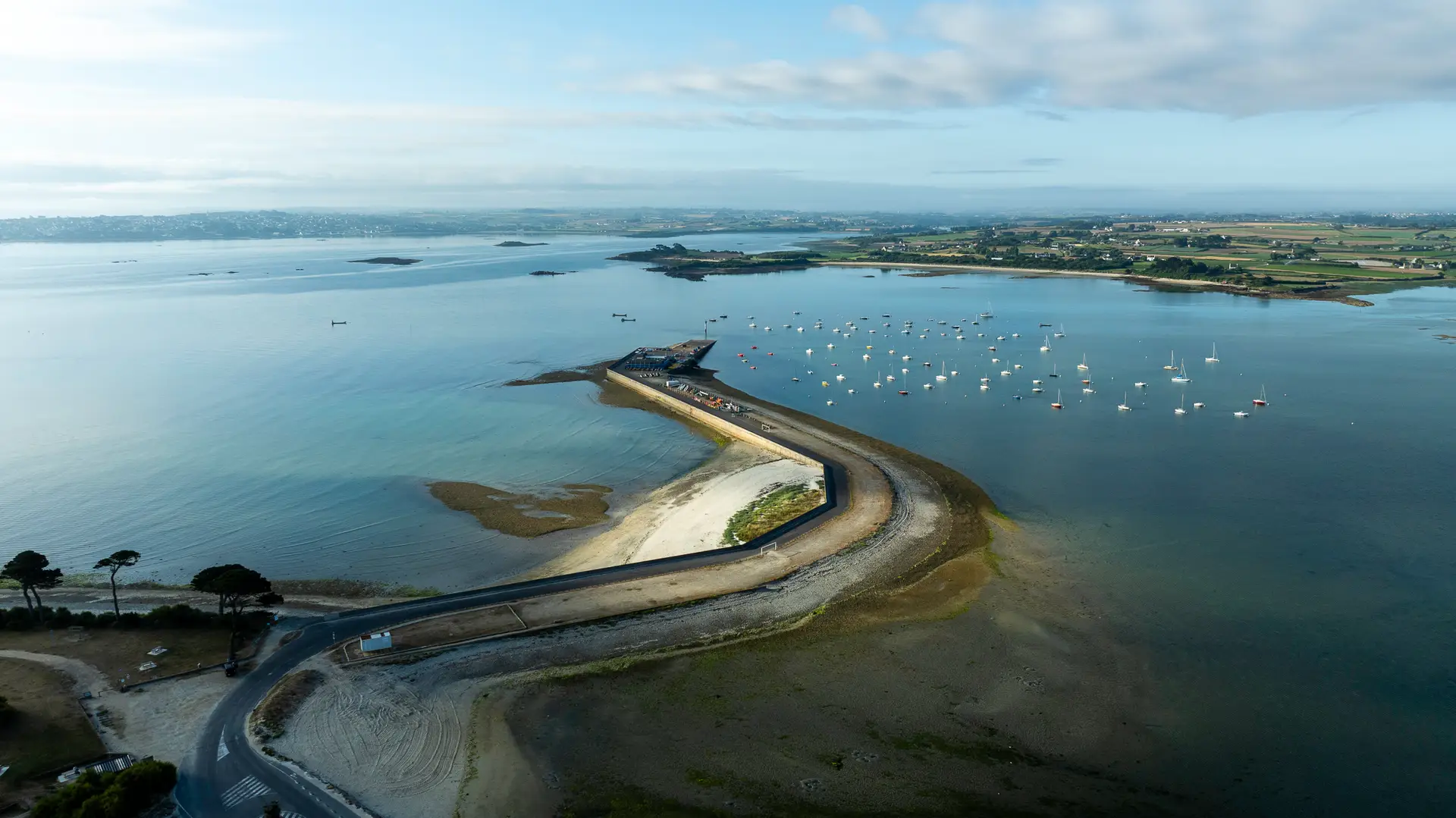
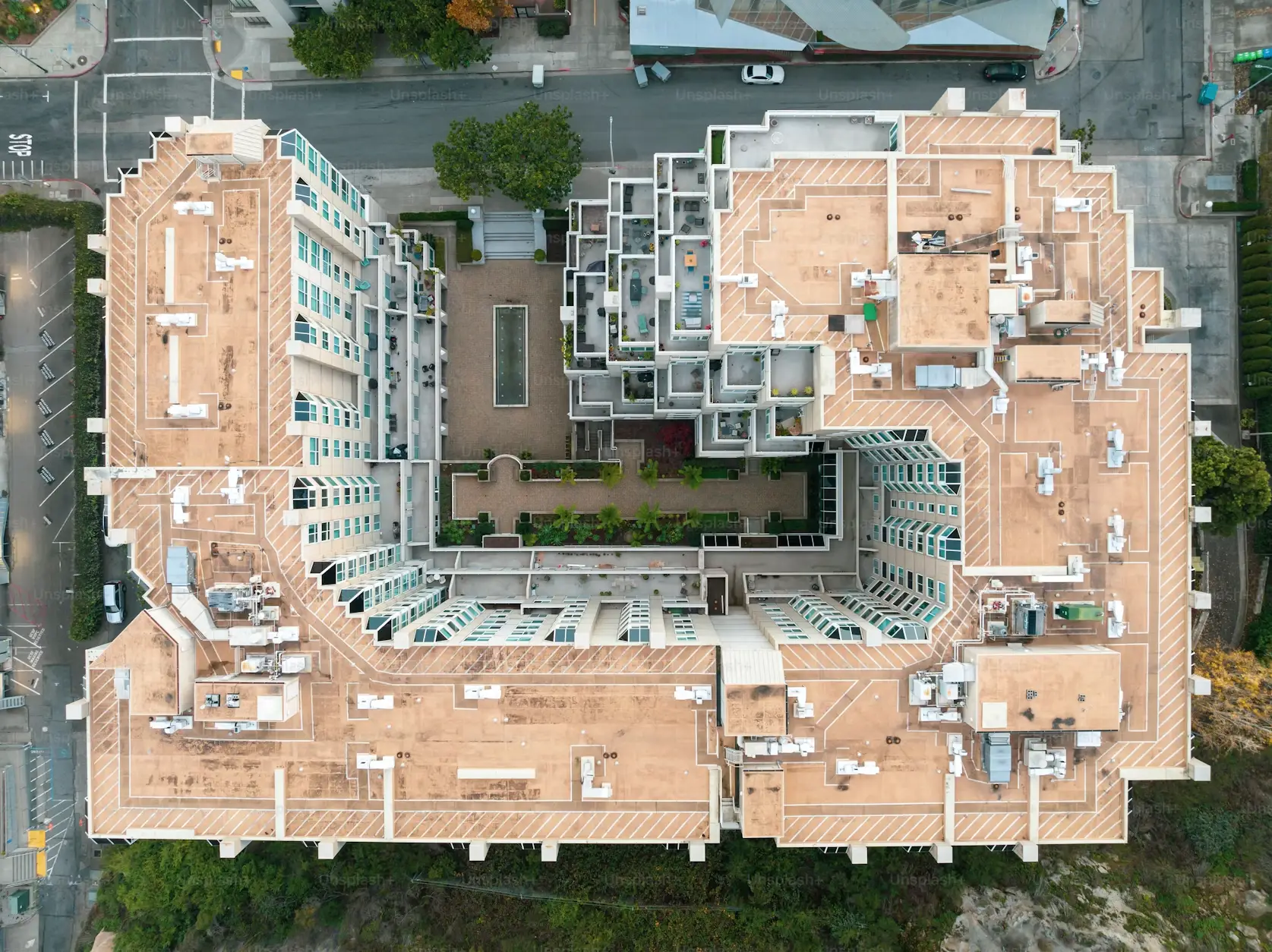
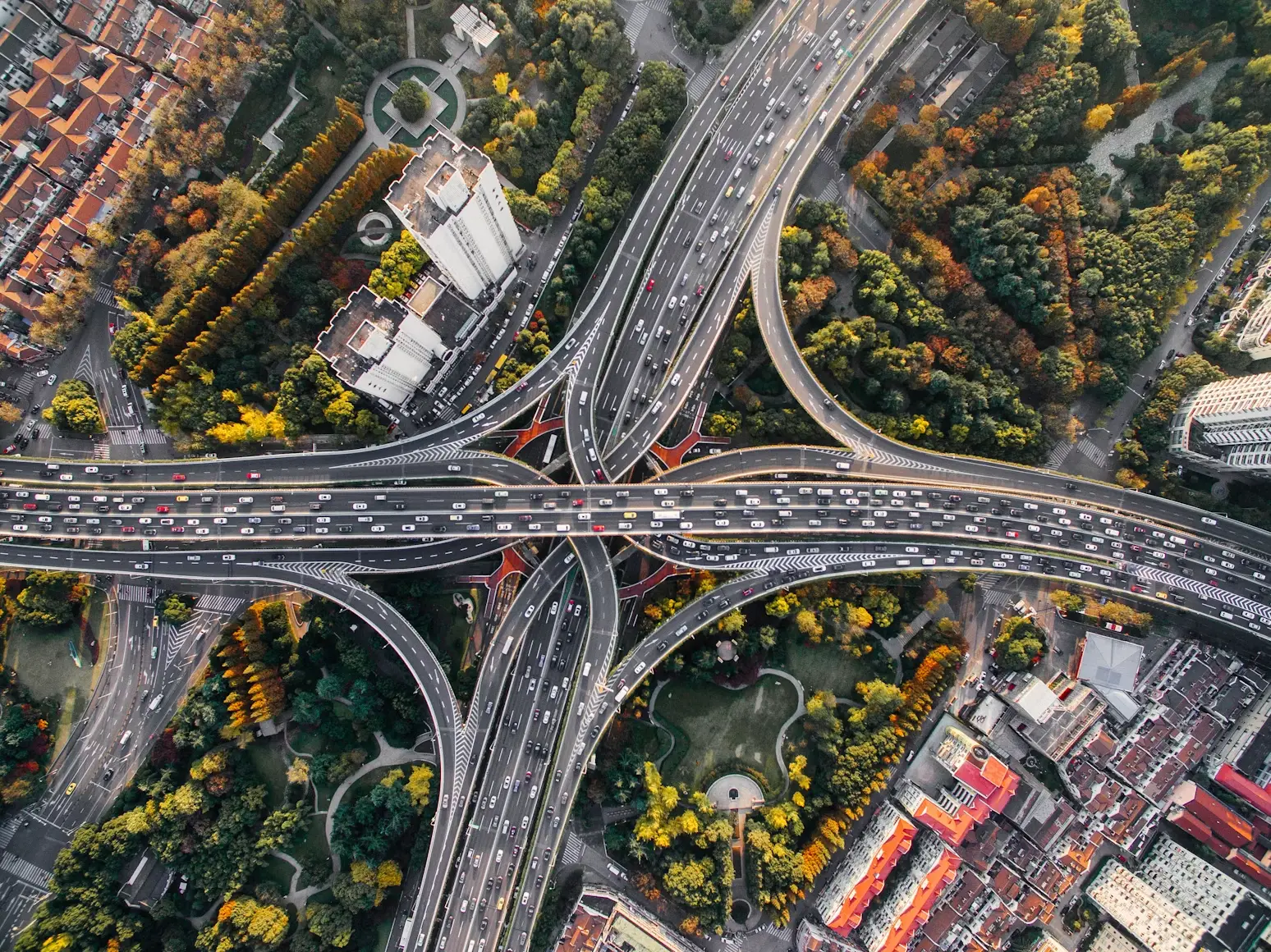
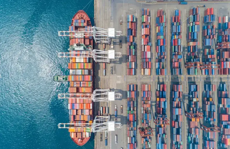
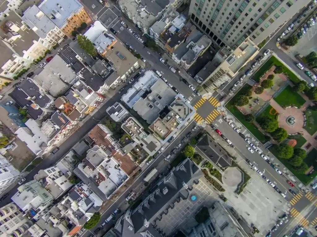
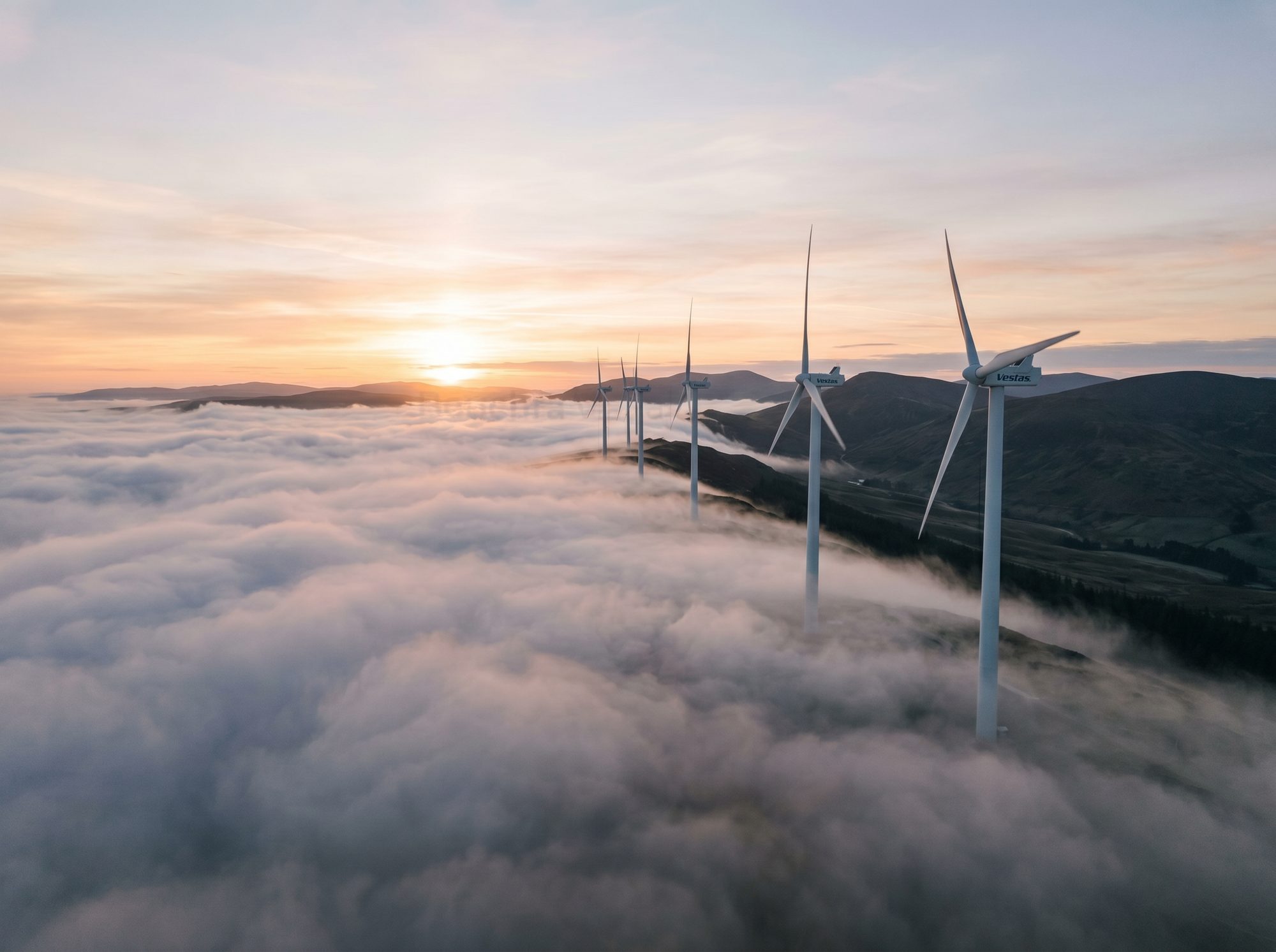
In Pictures — A selection of recent aerial photos.
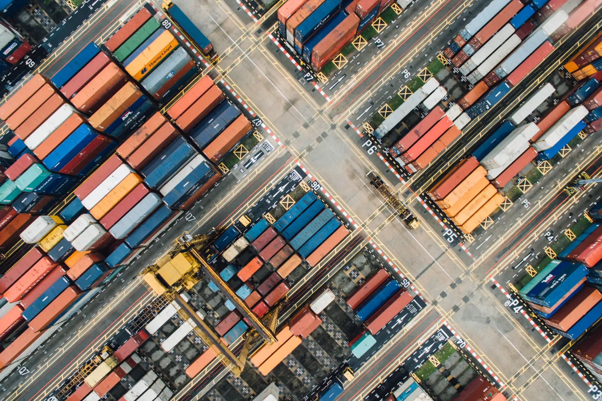
Tourism · Heritage · Construction · Industry · Coastline · International
High-definition aerial photos (up to 48 Mpx) to showcase sites, properties, events, and regions.
Aerial Video02
4K videos and aerial footage: communication, promotion, events, social media.
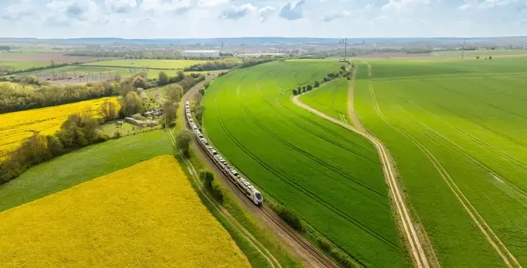
-03 Tourism
Promoting the region, accommodations, and recreational activities through aerial photography.
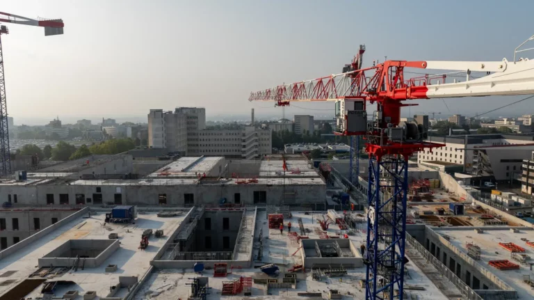
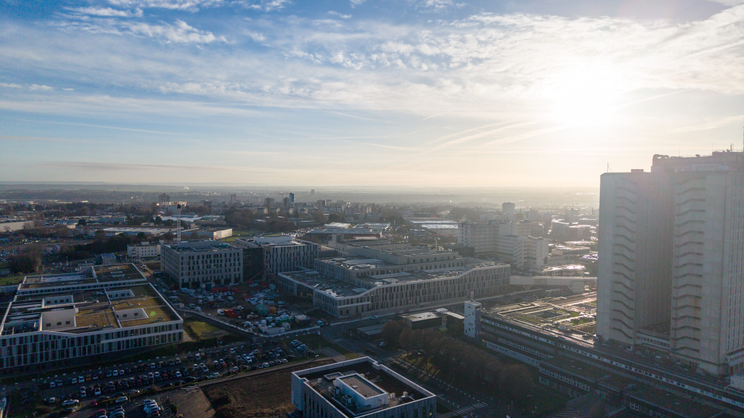
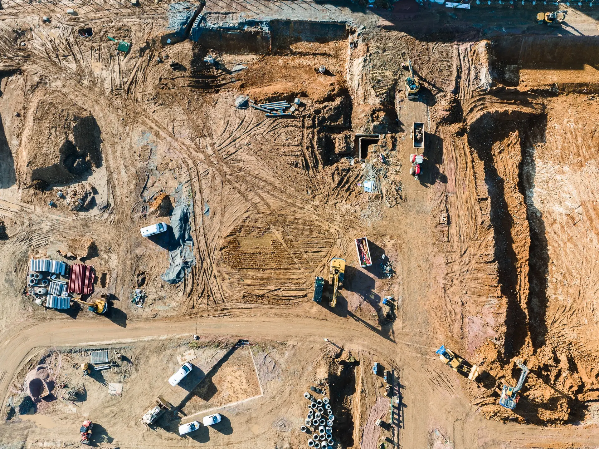
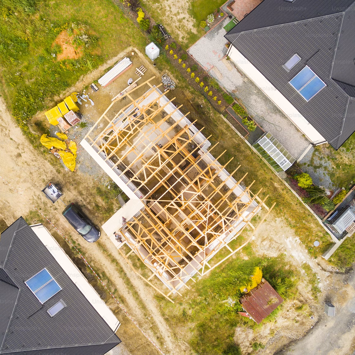
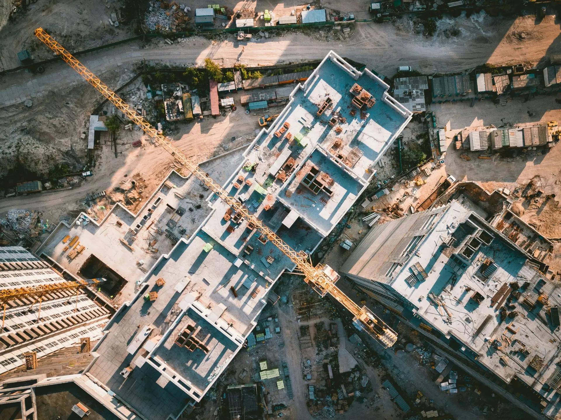
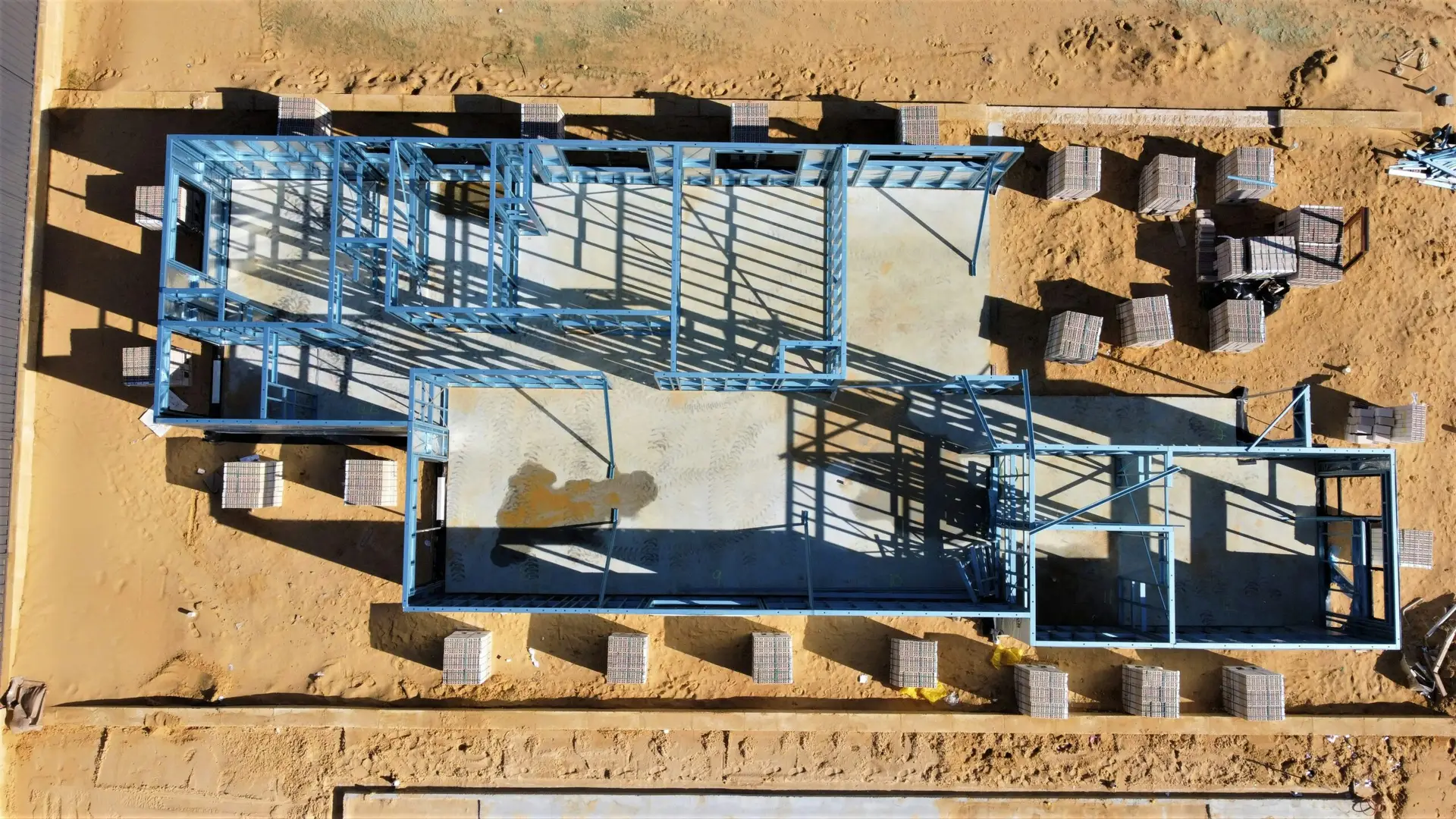
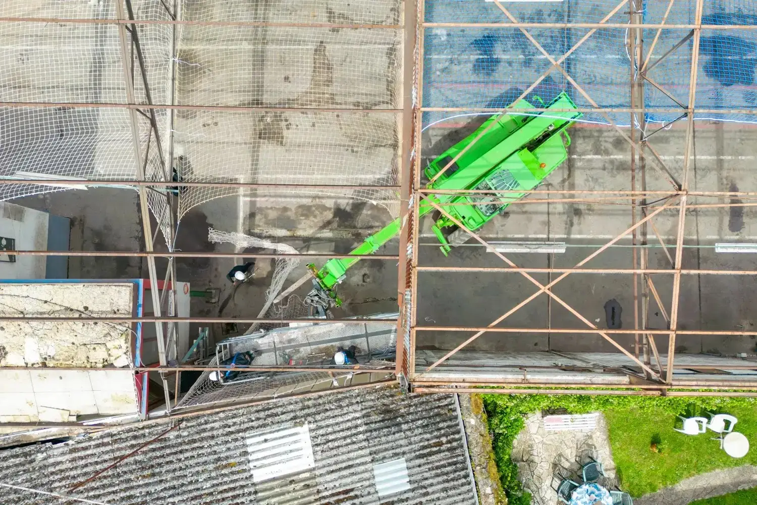
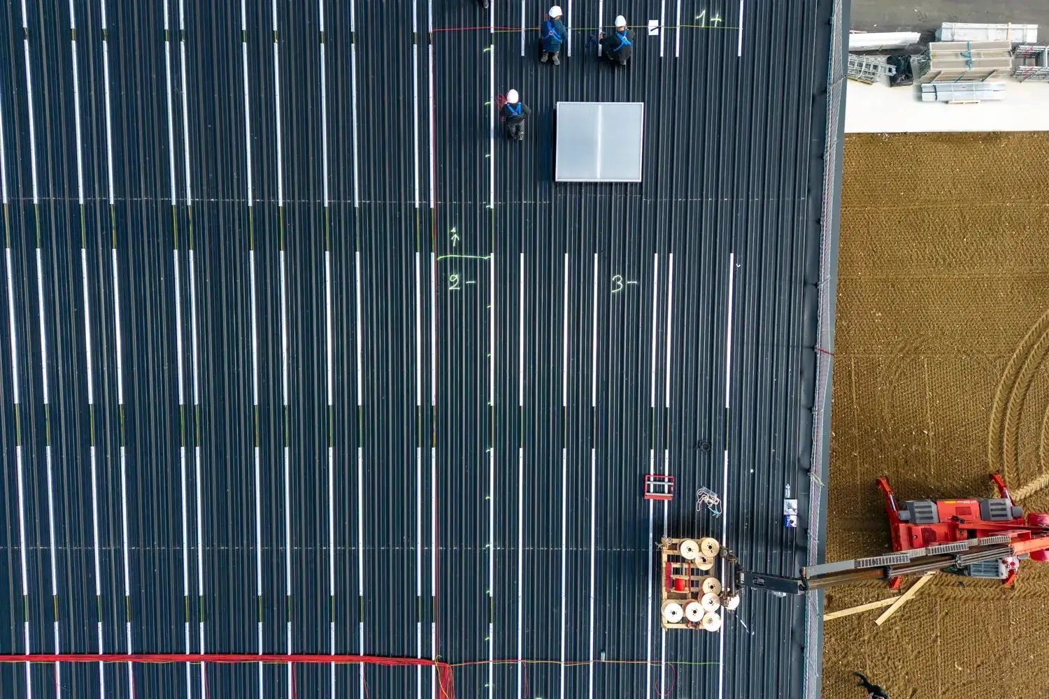
Construction Site Supervision04
Regular updates on the progress of your projects: overview, comparisons, and archiving.
-05 Inspection
Inspection of buildings, roofs, bridges, and industrial sites, without scaffolding or risk to personnel.
Real Estate in, 06
Aerial photography of properties, estates, and real estate developments.
-07 Drone
Visual design and creative support for aerial photography and video productions.
Artistic Director08
Visual design and creative guidance for photo and video productions. Visual direction, storytelling, and visual consistency across projects.
05
FAQ
Do you have any questions?
FAQ
Do you only operate in Normandy?
Based in Caen, we serve all of Normandy (Calvados, Manche, Orne, Eure, Seine-Maritime) and travel throughout France.
Are you registered and insured?
Yes. Our operators and drones are DGAC-certified, and our flights are covered by professional liability insurance, in strict compliance with regulations and safety procedures.
Do you manage flight clearances?
Yes. Reviewing aerial maps, conducting risk assessments, and handling administrative procedures (with the prefecture, the DGAC, and area managers) are an integral part of the service.
Is it allowed to fly in the city or in a restricted area?
Depending on the flight scenario (S1 / S3) and the site configuration, this is possible with the appropriate authorizations. We assess each site in advance.
What are the deliverables?
Edited photos (up to 48 Mpx) and edited 4K videos, delivered ready for use on the web, in print, or for publication.


