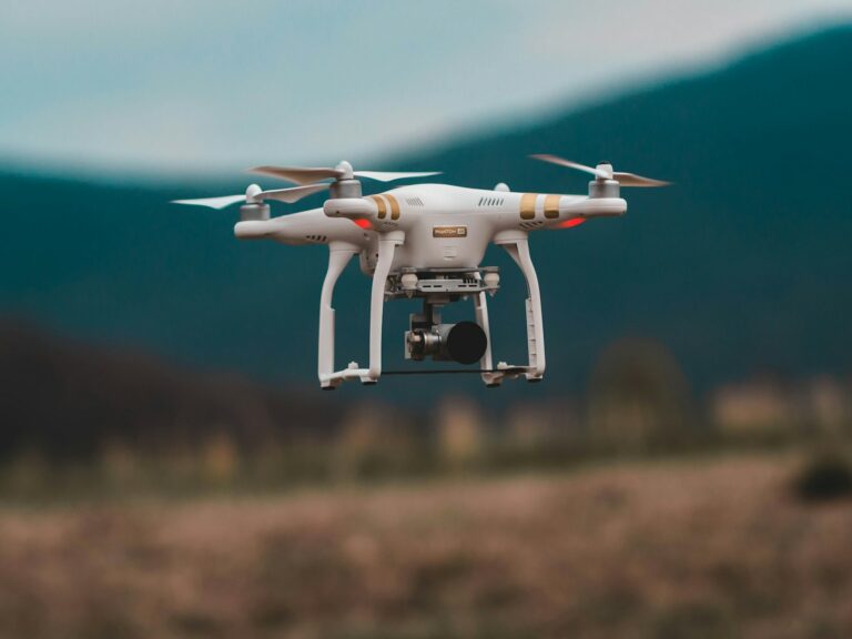
Normandy, a region rich in history and natural heritage, is turning to innovation to revitalize its industries and meet the challenges of the 21st century. Drones—unmanned aerial vehicles—are emerging as powerful and versatile tools driving Normandy’s industrial transformation.
1. Agriculture: Precision and Sustainability at the Heart of the Fields
Drones are revolutionizing agriculture in Normandy by bringing a new dimension to crop and livestock management. Thanks to sophisticated sensors and high-resolution cameras, drones enable farmers to:
- Monitor crop conditions: Identify areas of water stress, pest infestations, and crop diseases with greater accuracy, enabling targeted intervention and resource optimization.
- Optimizing Irrigation: Mapping soil moisture and adjusting irrigation based on the actual needs of crops, reducing water waste and improving water use efficiency.
- Herd Management: Tracking animals, monitoring their health and well-being, and optimizing pasture use, all of which contribute to more sustainable and environmentally friendly agriculture.
Examples of use:
- Vineyard Monitoring: Detecting vine diseases, such as downy mildew or powdery mildew, at an early stage, enabling more effective control with less environmental impact.
- Cereal Crop Monitoring: Identify areas of water stress and adjust irrigation based on the crops’ actual needs, reducing water consumption and optimizing yields.
- Cattle Herd Management: Locating animals in the vast pastures of Normandy, monitoring their health, and identifying potential problems, thereby improving animal welfare and the efficiency of livestock farming.
2. Construction and Real Estate: Efficiency and Safety on Construction Sites
Drones are bringing a new dimension to the construction industry in Normandy by providing an unprecedented aerial view of construction sites and making it easier to carry out complex tasks.
- Project Planning and Monitoring: Create accurate 3D models of construction sites, enabling architects and engineers to better plan and design projects, thereby reducing errors and costs.
- Inspection and Monitoring: Inspect structures under construction, identify potential defects, and track the progress of the work in real time, thereby improving construction safety and quality.
- Documentation and Communication: Capture high-resolution images and videos for project documentation, client communication, and real estate marketing.
Examples of use:
- Bridge and Infrastructure Inspection: Detecting cracks, concrete deterioration, and other structural problems on bridges and critical infrastructure, enabling preventive maintenance and reducing the risk of accidents.
- Roof Construction Monitoring: Monitor the progress of roofing work, identify any potential waterproofing issues, and ensure the quality of the construction.
- Real Estate Marketing: Create immersive virtual tours of properties using aerial images and videos, allowing potential buyers to explore the properties from a new perspective and boost sales.
3. Tourism and Heritage: Showcasing Normandy’s Treasures
Drones offer a unique and immersive way to showcase Normandy’s tourism and cultural heritage.
- Tourism Promotion: Capture spectacular photos and videos of Normandy’s landscapes, historic sites, and iconic landmarks to create engaging promotional materials and promote tourism in the region.
- Preserving Cultural Heritage: Creating accurate 3D models of archaeological sites and historic monuments to improve conservation efforts and increase public access.
- Monitoring of Natural Sites: Monitor the condition of sensitive natural areas, such as coastlines and forests; identify potential risks; and contribute to environmental protection.