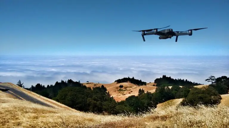
Normandy, a region rich in history and natural heritage, is turning to innovation to boost its industries and meet the challenges of the 21st century. Unmanned aerial vehicles (UAVs) are proving to be powerful, versatile tools in the service of Normandy’s industrial transformation.
1. Agriculture: Precision and sustainability in the field
Drones are revolutionizing agriculture in Normandy, bringing a new dimension to crop and livestock management. Thanks to sophisticated sensors and high-resolution cameras, drones enable farmers to :
- Monitor crop condition: Identify areas of water stress, pest infestations and crop diseases with greater precision, enabling targeted intervention and optimization of resources.
- Optimize irrigation: map soil moisture and adjust irrigation to actual crop needs, reducing water wastage and improving water efficiency.
- Herd management: Locate animals, monitor their health and well-being, and optimize pastures, contributing to more sustainable, environmentally-friendly farming.
Examples of use:
- Vineyard monitoring: Detect vine diseases such as mildew and powdery mildew at an early stage, enabling more effective control with less impact on the environment.
- Cereal crop monitoring: Identify areas of water stress and adjust irrigation according to actual crop needs, reducing water consumption and optimizing yields.
- Cattle herd management: Locate animals in the vast Normandy pastures, monitor their health and identify any problems, improving animal welfare and breeding efficiency.
2. Construction and real estate: Efficiency and safety on building sites
Drones bring a new dimension to the construction industry in Normandy, offering unprecedented aerial views of worksites and facilitating the completion of complex tasks.
- Project planning and monitoring: Create accurate 3D models of construction sites, enabling architects and engineers to better plan and design projects, reducing errors and costs.
- Inspection and monitoring: Inspect structures under construction, identify potential defects and monitor progress in real time, improving safety and construction quality.
- Documentation and communication: Capture high-resolution images and videos for project documentation, customer communication and real estate promotion.
Examples of use:
- Bridge and infrastructure inspection: Detect cracks, concrete deterioration and other structural problems on bridges and critical infrastructures, enabling preventive interventions and reducing the risk of accidents.
- Roof construction monitoring: Monitor the progress of roofing work, identify any waterproofing problems and ensure construction quality.
- Real estate enhancement: Create immersive virtual tours of real estate properties using aerial images and videos, enabling potential buyers to discover properties from a new angle and optimize sales.
3. Tourism and heritage: promoting Normandy’s rich heritage
Drones make it possible to showcase Normandy’s tourist and heritage assets in a unique, immersive way.
- Tourism promotion: Capture spectacular images and videos of Normandy’s landscapes, historic sites and emblematic monuments, to create attractive promotional material and promote tourism in the region.
- Heritage enhancement: Produce accurate 3D surveys of archaeological sites and historic monuments, to improve conservation and public access.
- Natural site monitoring: Monitor the condition of sensitive natural areas, such as coasts or forests, identify potential risks and contribute to environmental protection.